Aerial & drone media
Aerial photo and video, flown by a licensed pilot.
Aerial gives buyers, planners, and adjusters the one thing ground photography cannot: context. We capture the whole property, the surrounding access, and the work in progress, then deliver it ready for your website, listings, and campaigns.
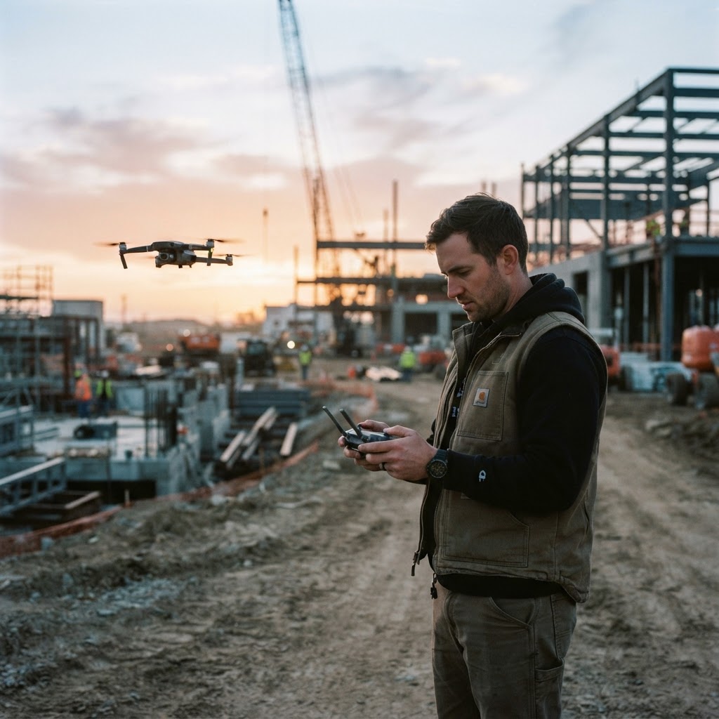
Sample flight
Commercial property · Golden hour · 4K
Where aerial earns its keep
If the story is on the site, we can show it from above.
Flights are planned around the decision your audience is trying to make — not around a preset route.
Commercial real estate
Aerial hero shots and approach views that show the building in its neighborhood, not floating on a white page.
Construction progress
Repeatable flight paths that document earthwork, framing, and completion on the same angles every visit.
Roofing & exteriors
Clear aerial context of rooflines, HVAC, drainage, and access before a crew or a buyer ever climbs up.
Retail & hospitality
Parking, signage, entrances, and surrounding traffic patterns — the details that drive a visit.
Land & acreage
Boundaries, topography, roads, and neighboring parcels presented in a way a plat map cannot.
Events & venues
Grand openings, tournaments, and outdoor events captured from above as they unfold.
What lands in your inbox
Files built for the places you actually publish.
Aerial media is only useful if it moves. Every flight is delivered in the formats your site, listings, and ad accounts need, with commercial usage included.

01
Edited 4K aerial video
Stabilized, color-graded, and trimmed into usable cuts — not raw card dumps.
02
High-resolution stills
Full-resolution frames for websites, listings, proposals, and print.
03
Vertical social cuts
9:16 exports sized for reels, shorts, and paid social placements.
04
Web-ready exports
Compressed, correctly named files your web team can publish the same week.
Need both ground and aerial coverage in one visit?
Combine the shootHow we fly
Licensed, insured, and boring about safety.
Aerial work on commercial property is regulated work. We fly under Part 107, coordinate airspace before we arrive, and document permissions so your team never has to explain an unlicensed flight.
- FAA Part 107 certified remote pilot on every flight
- Commercial liability coverage for the work we fly
- Airspace and LAANC checks before the shoot is scheduled
- Weather and wind go/no-go review the morning of the flight
- Property-owner permission documented in writing
- Crew and public kept clear of the flight path at all times
Flight timeline
Flight review
We confirm the address, the goal, and the airspace class.
Plan & permit
Shot list, altitude plan, and any authorization filed in advance.
Fly day
Arrive early, fly the planned passes, capture ground coverage in the same visit.
Delivery
Edited aerial stills and video, organized and ready to publish.
Your site should look as good as it performs.
Tell us about the property, the launch, or the campaign you are trying to fill. We will come back with the shot list, the flight plan, and a clear quote.